
News
A Great Day Out at Gullane - Sunday 21st September
The last Scottish Orienteering League (SOL) competition of the year saw an excellent end to the series, with today's competition at Gullane Dunes, hosted by Interlopers. The sky was blue all day and we had a fantastic turn-out of orienteers from across the Scottish clubs as well as from further afield, and some newcomers to the sport too. Ben Stevens' courses made really good use of the area with plenty of enjoyable challenge, as well as plenty of wildlife with deer and special lichen featuring in the terrain. The ScotJOS cake stall was a sell-out and the local ice-cream did pretty well too!
Results now available:
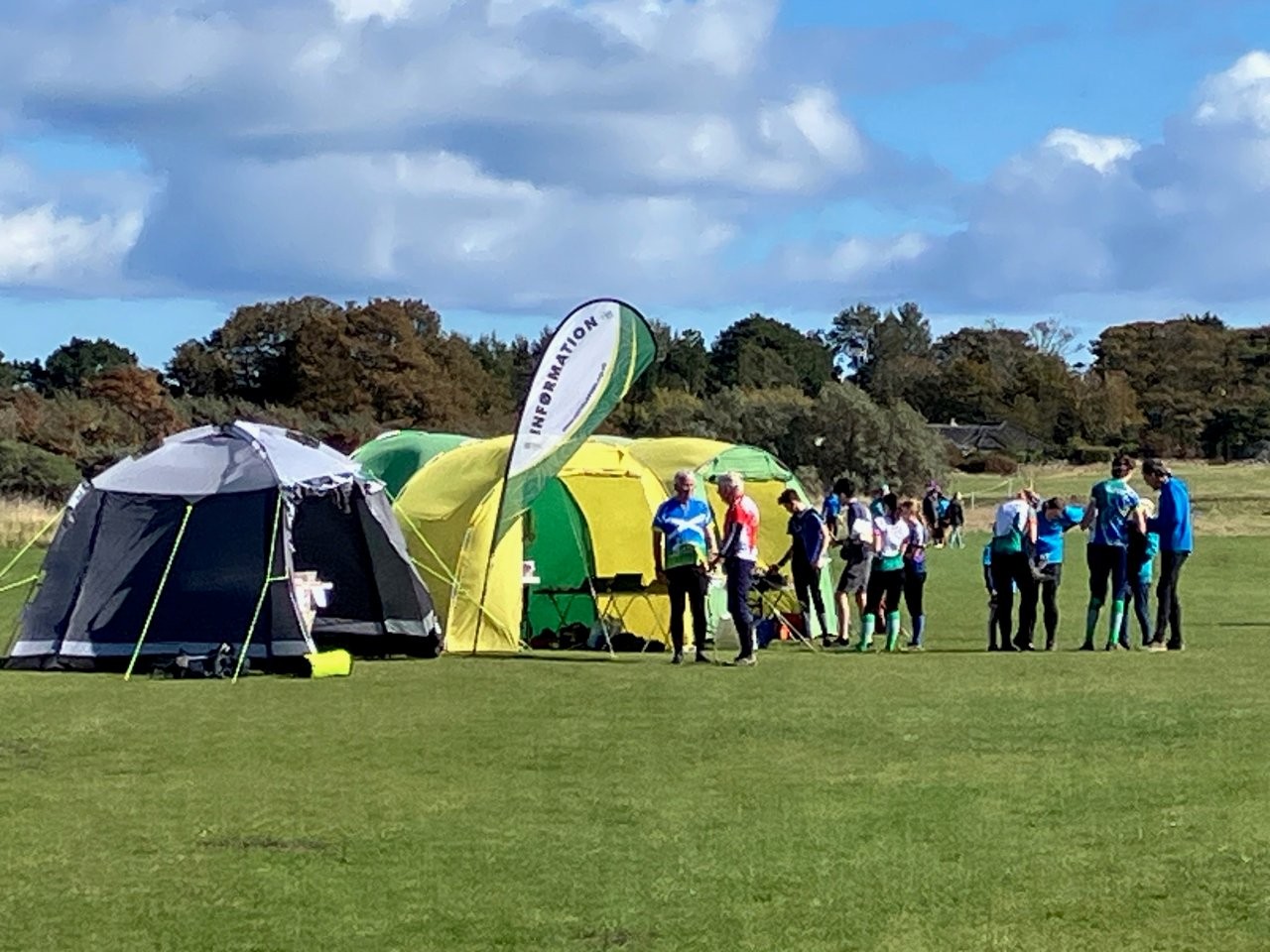
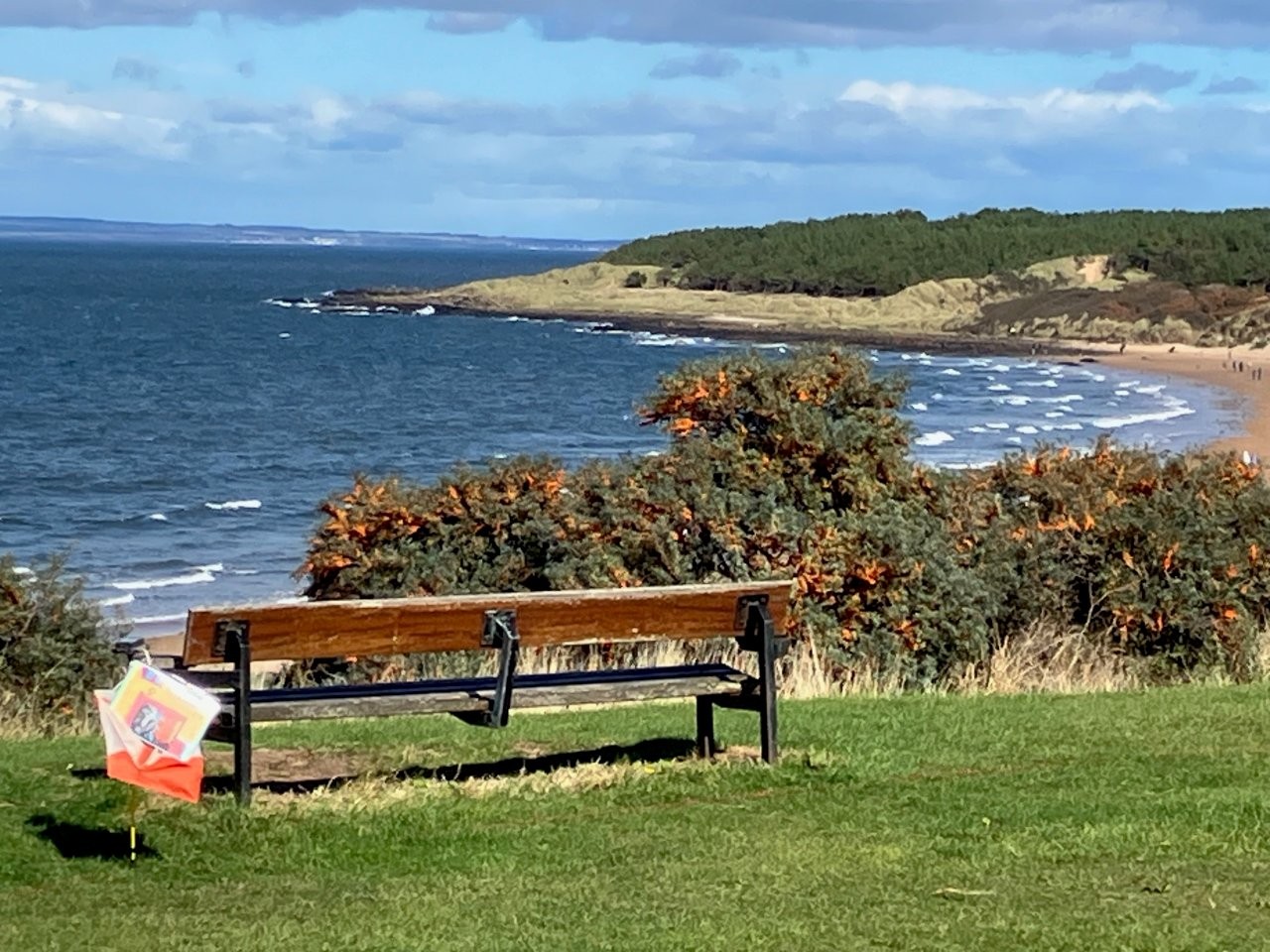
(Photos by Katherine Ivory)
Organiser's comments (Max Carcas)
As the Organiser (pre-event) for SOL4 Gullane I would like to say a big thank you to the various landowners, Gullane Golf Club, Gullane Feuers, Muirfield and Archerfield whose land we used. Particular thanks to Muirfield for facilitating access across their golf course for putting out controls. Also thanks to the East Lothian Ranger service for their support and car park access, Nature Scotland and East Lothian Council’s events team.
I’d also like to thank my on-the-day organising team, Mary and Graeme Ross, planner Ben Stevens and controller Sheila Strain as well as all the Interlopers Club Members that helped in-between their runs. From what I can gather, many people from all over Scotland had a great time out on the dunes on a beautiful day, racing, tackling the challenge of orienteering and enjoying the nature and spectacular scenery.
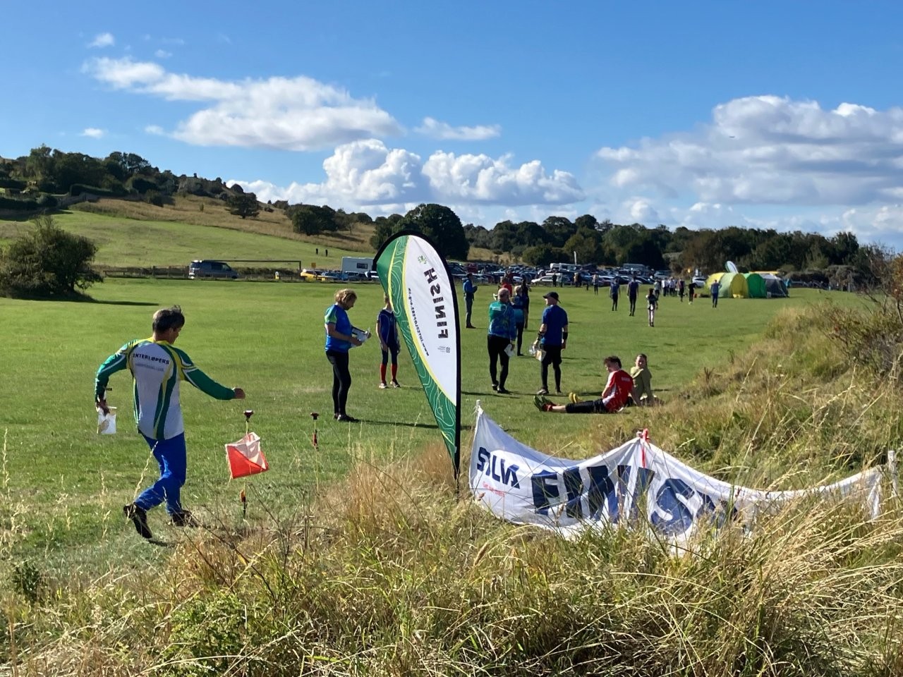
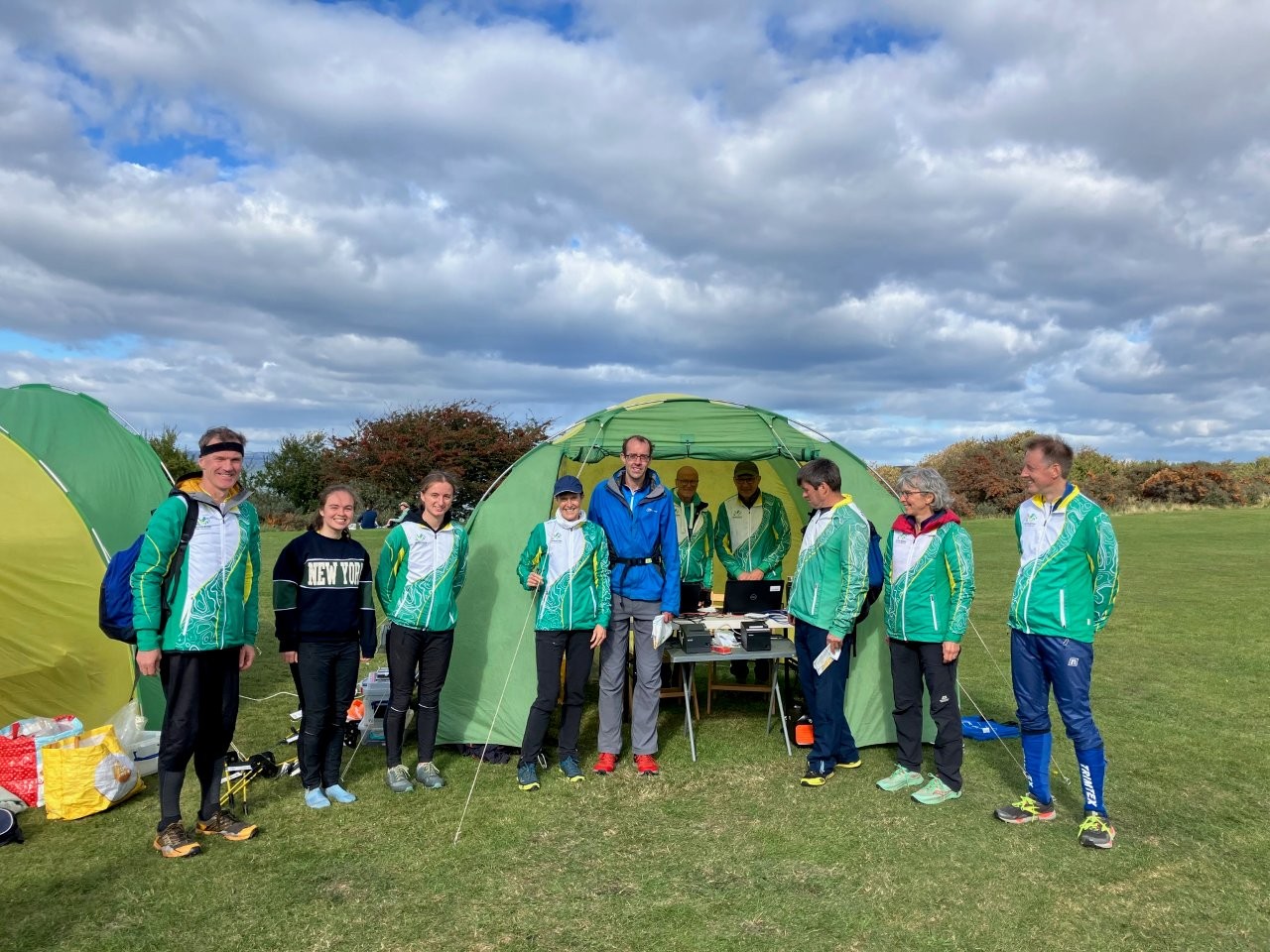
(Photos by Katherine Ivory)
Planner's comments (Ben Stevens)
Whilst overall a rewarding experience, planning at Gullane proved more of a challenge than I was expecting. The main issue was the number of map updates needed, which I took upon myself to do despite no mapping experience. The paths and vegetation had changed quite a bit, and in places had clearly never been correct since the map was made in 2017. There were even a few bits where the contours weren’t quite right, or at least misleading, and redoing these actually made me appreciate some of the compromises and simplifications that need to be made when mapping complex contour detail (particularly at a 2.5m interval). I imagine doing some of this sort of mapping can make you a better orienteer, although I don’t think it’s had any effect in my case! The map still contains a lot of too-small ring-contour hills, and issues like this made it slightly difficult to tell in advance what would be an appropriate contour feature to use for a control site. Of course every time you update the map, it changes route choice and viability of control sites etc, so creates another cycle of course planning! On top of this, we were told quite late on to try to avoid patches of lichen, which involved mapping the lichen then moving some controls to avoid it.
Having to plan 13 courses and trying to avoid too many sections in common, no short legs reversed between courses etc, was also another challenge that I hadn’t had before, having not planned a SOL or equivalent level event. A related complication was the different print areas and scales used by different courses, including needing 2 different print areas for Black and Brown parts 1 and 2. The ‘Canvases’ feature of Condes was very useful for this, and I ended up using the maximum of 5 canvases that it offers!
In terms of the shape of the courses, I knew from having been to Gullane before that the small wooded section was by far the nicest part of the area, so wanted to maximise time in there, even if it meant lots of short legs. In general I try to approach planning by looking for longer legs first, and did find a couple for Black/Brown that I thought might offer a nice beach vs non-beach route choice, but found it tricky to identify many others so there ended up being lots of controls instead! This did leave me with the self-imposed problem of 81 controls to put out, but doing all the stakes and kites and some SI units the day before, then getting some help with the units on the day worked out fine in the end, and it wasn’t so stressful on the day. The weather was so nice on the morning the I actually got a bit distracted taking photos!
Finally, thanks to everyone who took part – the relatively large number of entries and the positive feedback from finishers made it all seem worth it!
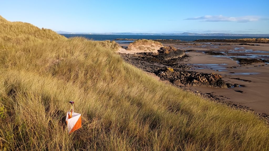
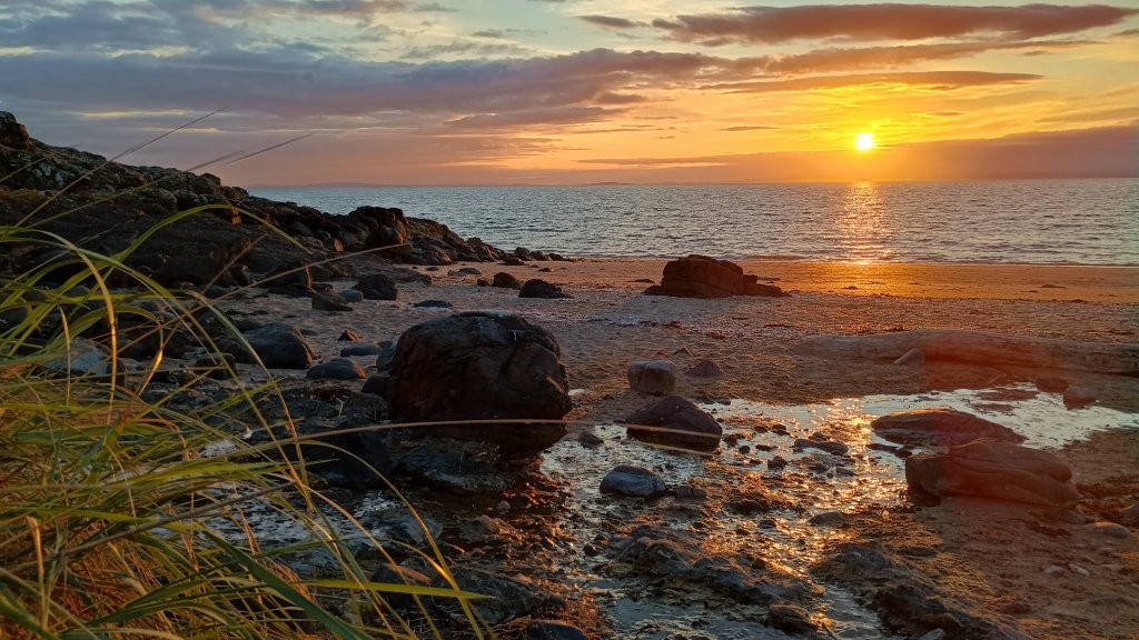
(Photos by Ben Stevens)
Controller's Comments (Sheila Strain)
It is common advice that when asked to control an event, before agreeing, to find out who will be the planner. I did not follow that advice! Back at the beginning of the year when the list came out of events needing controllers, when I saw that Gullane was on the list I was straight in there volunteering. It was some months later when I heard who was planning, someone I did not know, but Ben came and sought me out at the Six Days.
It turned out that Ben is the ideal planner for any controller to work with. By the beginning of July he already had drafted some of the courses and was working on the rest. My first visit was to look at the White and Yellow courses as it is important to locate them in the most suitable area first. Initial taping of the control sites was done by Ben in early August, and I then checked them during two visits. If you thought looking for a red and white kite in the dunes was a bit tricky you should try spotting a three-inch square of yellow duct tape on a one foot stick, particularly in the areas where there are also yellow flowers! But Ben’s taping was spot on, if I did not see the tape straight away it was because I was looking in the wrong place.
For my first visit to the NE part I parked at the Walled Garden in Archerfield but it was a 2 km walk from there, so for my next visit to that part I drove right into the Archerfield Golf course car park and walked over one fairway of the Renaissance course. In all I paid six visits to the area before the actual weekend of the event, all of them in great weather and all a treat to enjoy. One thrill was to take a break for a snack in Freshwater Haven and watch five gannets circling and diving over and over again.
Checking controls in a complex area takes time and care but is also excellent practice in navigating, taking time to check the layout of the dunes, and having to be certain that any knoll or depression is the correct one.
There is a crag at the top of a steep path in the west of the area that was on a straight line on the black course. I was kneeling over the top of it recently to check it was navigable without too much danger when some golfers on the 12th tee shouted at me – not to chase me away but to tell me that there was an easier way down if I just went on a bit!
The day before the event I checked that yellow tapes had been replaced by kites, from Muirfield Dunes back to the car park, 68 in total, but thank you to Graeme Ackland who checked the last 13 to the west of the car park.
It was a pleasure to have this opportunity and I hope everyone enjoyed competing as much as I enjoyed controlling.
Return